August 2024

Taylor Highway
This is the daily log for our Summer 2024 trip. I will be updating it daily during our trip so people can find us if they need to. (If we get lost or for family emergencies) It is written with the most recent day at the top for easy reading at the time. To read it in order you will need to start at the bottom (watch the dates)
To see the Map of our Adventure click HERE.
Camp 32 “Moose Hunter Lake” August 30, 117 miles
Cool camp by a lake but the moose hunters are moving in.
***
Camp 31 “Screaming Girl” Granite Tors, August 29, 277 miles
There are no good camp sites in this area so we are moving again tomorrow.
***
Camp 30 K’esugi Ken, August 28, ~200 miles, 52F, 927 ft
The thick forest cover along the coast blocked all satellite signals for days. Also Anchorage does not have cell coverage for our carrier. So we were within 100 miles of the largest city in Alaska and had the worst coverage. We did move back up to Denali State Park. We are now headed north in search of northern light.

Camp Visitor
Camp 29, black bear (Whittier), August 26, 0 miles, 51 ft, 52F
We are camped under thick forest with no satellite view! Tomorrow we are heading into Anchorage for supplies. We intend to stay in our current camp at least until 8-29. The plan after that is to head back up to Fairbanks via hwy 3 then over to Circle or Chena Hot Springs. We will decide which, or both, when we get closer.
Camp 29, August 25,
At Whittier Alaska it's windy here!

View to the East

View to the West
***
Camp 28, Kenai Lake, 314 mile, 1,240 ft

We camped next to arguing jerks, and it rained all night.
***
Camp 27, Hope, August 21, 102 miles,

Hiked to gull point. Beluga whales, seals, the usual.
***
Camp 26, August 17, Denali State Park, 125 miles, 927 ft, 57F

The Igloo
We saw the igloo, it was intended to be a resort but the owner ran out of money and it sits empty and unfinished. There was talk of setting up a distillery.
We are camped at Denali State Park and considering hiking the ridge east of Denali (mountain) but we expect clouds of rain. It's Alaska, always expect rain.
Camp 25, August 16, 158 miles, 2,113 ft

We woke up with no plan. But decided to drive to Denali National Park. It was rainy with low clouds so not much to do there. As expected the road is closed after mile 42 due to a rock slide. We had not intended to go to the park on this trip so no disappointment there. We looked around a little and left. We are hoping to get a better view from the state park across the river.
Back in camp, we have a view of the eastern half (about 300 miles) of the Alaska Range across a wide valley which I am calling the Sustina Valley since that is the name of the river we crossed last. See photo above.
Camp 25 “Sustina River Valley” View, August 15, 50 miles
It is a beautiful day. We moved farther west along the Denali Highway. We wanted to camp toward the western end of the highway and found a camp we liked.
Camp 24, August 14, 0 miles
We watched swans chase away an intruder, the beaver swim around with their meals, otters being otters (playing). Fun day!
Camp 24, unnamed lake on Oscar Creek, August 13, 0 miles

We woke to ice on our camper steps. Luckily no one took a spill on that ice. Within a few hours it warmed up. I’m thinking of shorts. There is so much to see we plan to stay a few days.
***
Camp 24, August 12, 136 miles, 3,117 ft
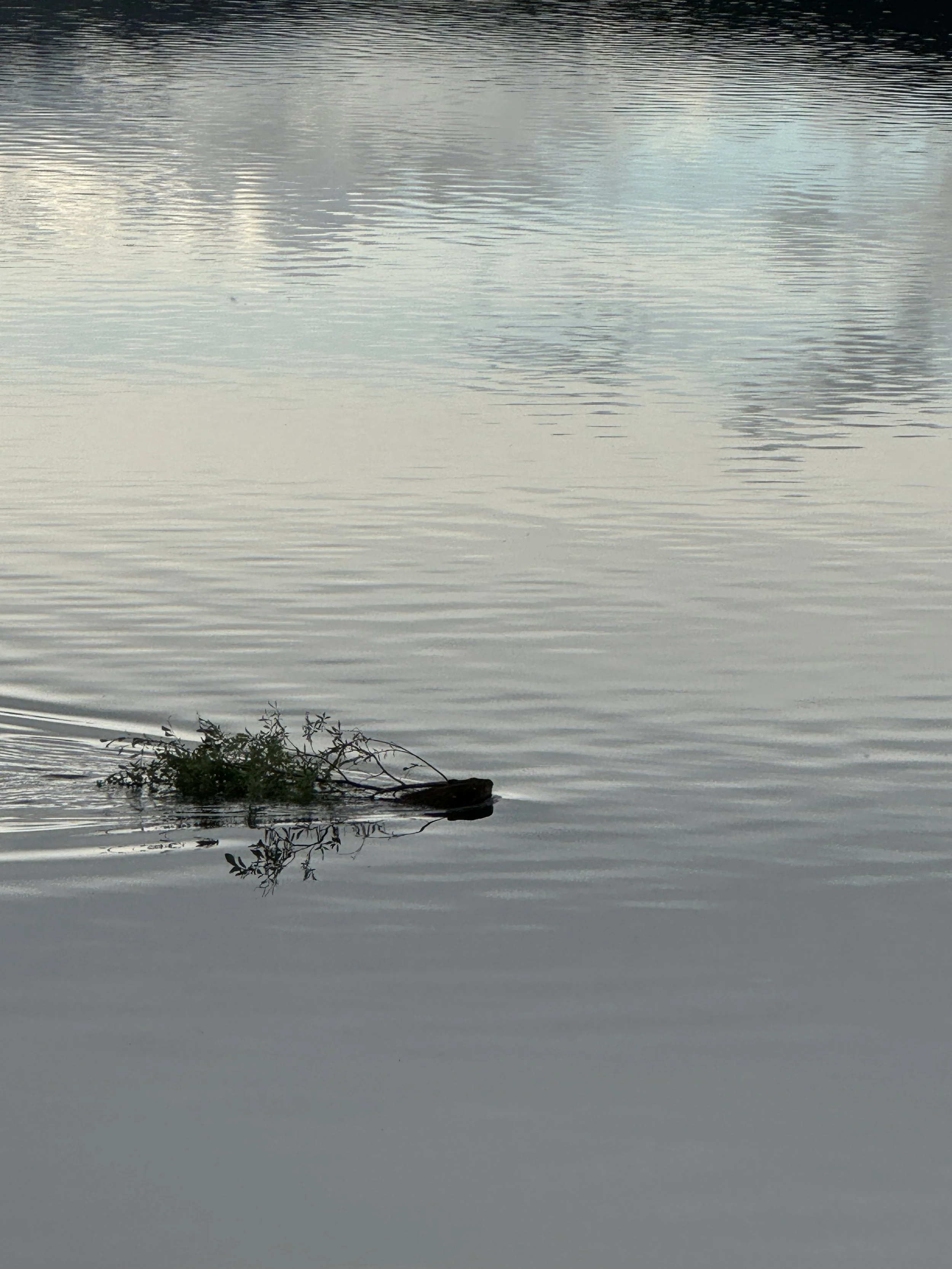
Beaver Making Dinner
The weather cleared for us to drive a bit farther along the Denali Highway. We found the best camp of the trip and plan to stay a few days to watch wildlife.
***
Camp 23 August 11 miles 0, 46F
The weather forecast says cold and wet. We are staying indoors today. Tomorrow is supposed to be identical to today. We knew this when we selected our camp and chose one that was away from creeks that could flood, hillsides that might have rockslides, and was protected as much as possible. We have one of the three best campsites within 100 miles. We know this because we looked at all of them!
Camp 23, August 10
We plan to stay at this camp for a few nights and explore the area.

MacLaren River near the Denali Highway
***
Camp 23, Sevenmile Lake #1, August 9
There are two lakes named “Sevenmile” along the Denali Highway. What is the point in naming things if you give multiple things the same name? Like naming two of your sons Darryl.

We hiked most of the way around the lake and found this paw print. Michael we found the wolves!
***
Camp 22, August 8, Flood Creek

Flood Creek was aptly named as we arrived, slept, and packed up all in the rain. We think the creek was primarily glacial melt. It was obvious from the erosion along the bank that the creek floods routinely.
***
August 6-7 we stayed in a hotel in Fairbanks. It was so nice to get a shower, wash all our clothes, get an oil change for the Jeep, and finally get the back window of the Jeep replaced. We also found an interesting place to explore between appointments.

Creamer’s Migratory Water Fowl Refuge
***
Camp 21, August 5, Gerstle River,
We are camped in the Alaskan Bison Range near Delta Junction. Since we have a day to spend in the area and are tired of sitting in the vehicle we are going to hike some trails to look at the landscape and maybe see some plains bison.
Yes, we know bison are huge and fast so you don’t get close or approach them.
***
Camp 21, Gerstle River, August 4, 73F,

We found a nice camp on the beach about 130 miles from Fairbanks. The view from here of the Alaska Range is pretty sweet too.

Tonight we plan to do some astro then tomorrow, stay here and explore the river.
***
Camp 20 Bad Host Camp Ground, August 3 ~ 180 miles, ~ 1,200 ft,

Two varieties of fireweed.
Look for the fuchsia in the back right. All my good views from Taylor Mt are on my other camera!
We moved to a BLM campground then went in search of a good astrophotography location. Taylor Mountain has an amazing view. We had already paid and set up camp, but we marked it in cases we have time to spend a night there on the way back.
Today we will get still closer to Fairbanks. We could easily make it there in one day but our appointment for glass repair is on the 7th which gives us more time to explore. We're not sure exactly which side road we will take. Down toward Tetlin or north toward Tananan. We’ll probably decide when we get to the turn.
***
Camp 19, O’Brian Creek, August 2

The Alaskan “frost heave” Highway
We decided rather than move our camp, we would drive up north to Eagle.
It’s a cute village not on the tourist route. There was a forte there back in the early 1900’s that supported the telegraph. Cool old buildings. But the thing that stuck with me is they couldn’t store enough winter feed for the mules so they starved or froze. Wouldn’t it have been cheaper than buying new mules every year to walk them south for the winter? I guess better weather and more food was too far south.
Moving toward Fairbanks tomorrow.
***
Camp 19 - O’Brian Creek, August 1

I have a warped sense of humor. The “accessory” the phone is connected to is our Jeep which is charging the phone. Talk about self-centered!
Today we entered Alaska. The border crossing agent was Hispanic. He was super nice about letting people in. We spent the night by O’Brian Creek. We are staying here another night so we can explore the area.
***