Gulkana Glacier
August 8 / September 5 - We pulled over at the viewpoint at Isabel Pass (3,297 ft) along Highway 4. We wanted to see what the sign had to say. It was about women gold miners and had no obvious connection to the location.
It was a nice view point though. As we looked off into the distance, we saw a glacier.
As there was nothing else to see, we got back in the Jeep and continued our journey, not giving the glacier much thought. But it was a windy, rainy evening and we didn't have much to do, so we started thinking and looking at the map. What's down this trail? What about that one?
Follow the green dotted line.
September 5 - We went back to the pass and turned down the trail we had found on the map. It started as a normal Alaskan road, remote, gravel, minimally maintained, but extremely wide. We bumped and jolted but drove on. The road got narrower. One hour later, we encountered a river. We saw a Jeep coming toward us. I jumped out to talk to the Jeep driver. He told us the trail continued and eventually turned "rocky" before ending near a footbridge.
Armed with this information, I carefully picked my way across the creek on foot. It looked like a viable trail. I signaled for the Jeep to come along. We continued up upstream. When the trail looked difficult, I walked it. Eventually, we came to the "rocky" part of the trail.
He’s standing in the middle of the road!
The Jeep could do this section, but why risk a breakdown. We parked and continue on foot for a quarter mile. We found a suspension bridge and climbed up to cross.
The boards on the bridge were unevenly spaced. The distance between the boards was often wide enough for my foot to slide through. I had to look down at my feet, but I told myself to think like a camera, focus on the boards so that the muddy turbulent river far below would not be in focus.
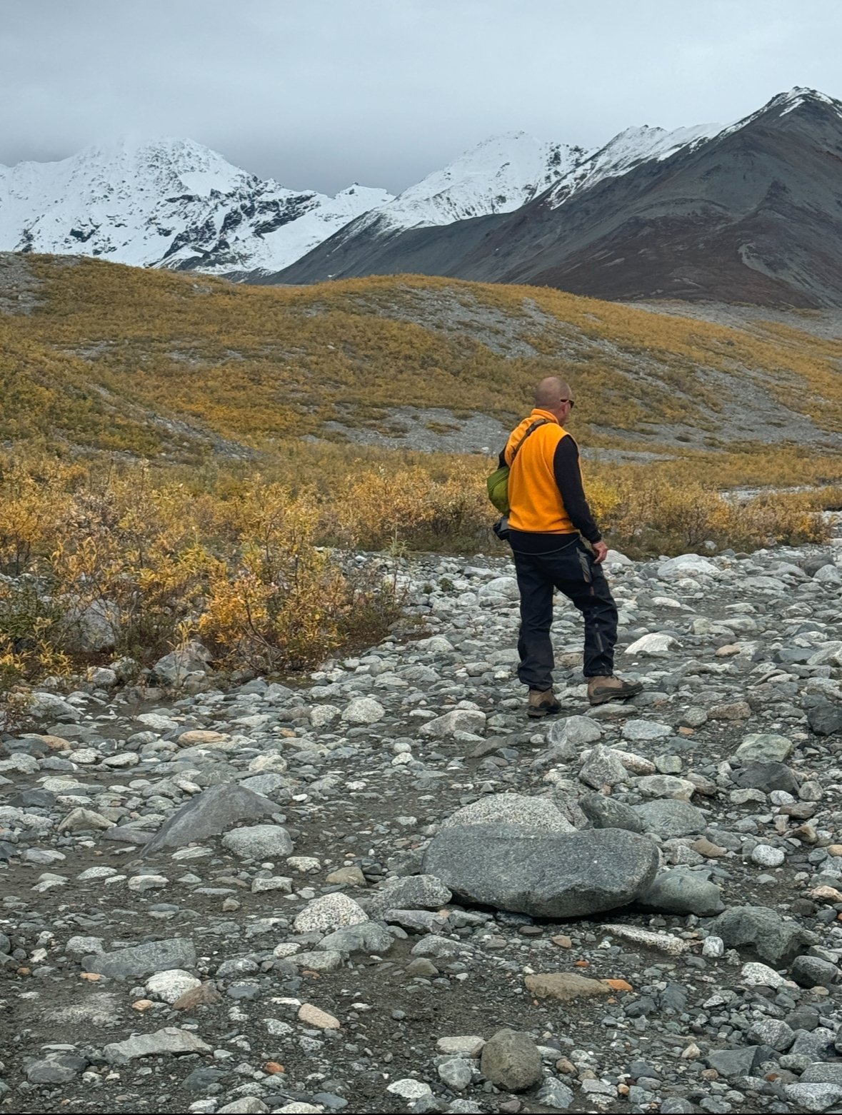
The trail beyond climbed a hill through thick brush. I was glad we brought bear spray. We continued hiking along an intermittent trail (weather and erosion often removes or obscures a trail). The trail at this point was irrelevant as we simply had to hike along the creek toward the glacier.
It is at least another mile from the people to the glacier.
It started to rain. We considered the retreating glacier. Where we were standing was under the glacier not that long ago. We turned back and retrace our steps to the Jeep.
September 6 - We returned to the area, determined to hike all the way to the glacier but the second time we encountered rain and sleet.
Around ninety percent of the world’s glacier are in retreat. Those that aren’t in retreat are receiving increased precipitation that allows them to advance. Gulkana, which is retreating, is one of the most studied glaciers in the world with continuous records dating back to 1966. Scientists need to access the glacier twice annually to take measurements and maintain equipment that records real-time data, which explain why the footbridge is in such good repair.
Studies of this and other glaciers, as well as rivers draining into the Alaskan Gulf, indicate that fifty percent of the flow into the gulf is from glacier melt, that accounts for seventy-five billion tons of ice lost annually from glaciers and ice fields in Alaska. Makes you think about rivers that won’t have enough water to allow salmon to travel up-stream to spawn once the glacier that feeds that river is gone.
***
Most of the photos above were taken on our second visit. You will notice the difference in the photos above. On our first trip the plants were green. In September, the plants were in their fall colors of yellow and brown. While it sounds like we have backtracked to do a southern section again, it was actually on our way home.


