
Joshua Tree National Park
Campsite 4, March 19 - Twenty Nine Palms, CA is a windswept little town and a great place to enter Joshua Tree NP. We took the main road through the park, which heads south. At first the landscape looked like what we had been driving through for the past two days. Within a few miles we started to see large boulders composed of solidified sand and gravel. Joshua trees dotted the landscape along with other desert plants. At this point the boulders were more impressive than the trees.

We came to a picnic area named, Live Oak. We thought it was a weird name out in the desert, until we started exploring the area and came across the tree.

Oak Tree in the Desert
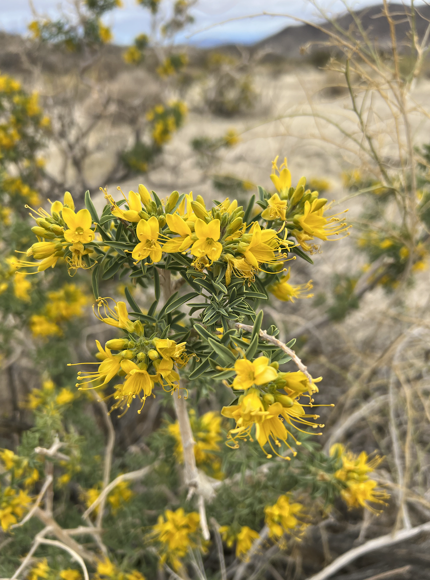
Leaving the picnic area, we continued on the main road to a trail marked on GaiaGPS but not on the park map. There was one other car parked along the side of the road. We found the trail and started out into the desert. Along the trail we found interesting plants and a few wildflowers in bloom.
The short hike of about one mile lead to an area that looked as if staged by an expert gardener. Huge boulder were the backdrop to perfectly positioned trees with small shrubs scatter in just the right density.
The trail ended at the foot of a small hill made entirely of boulders. In front of us was a 50 foot wide spiral constructed of small rocks. The spiral path gradually became more narrow as it approach the center. If this was children playing, they worked very hard at it. Native Americans have been using the spiral as a mystical symbol for generations. May other people have visited this desert in search of solitude to meditate and seek spiritual guidance. More likely the spiral was constructed by one of those modern visitors.
We hiked back to the Jeep and continued down the road. We turned down a side road that headed south. The vegetation quickly changed to a forest of Joshua trees.

Robin sitting in Joshua Tree
At the end of the road is Key’s View, an overlook of the Coachella Valley.

Coachella Valley
It was an impressive view. Farther to the south we got a glimpse of the Salton Sea. We might have to check that area out.
Headed back up the road, we pointed out yucca “trees” that were structured just like the trees we were used to, maples and oaks.
It was now around 3:00 pm. We turned off the main road to travel along the smoothest dirt road we have encountered. At the end was a small parking area, packed with cars. There were several trails in this area. We were here to hike to the Lost Horse gold mine. It got its name from the story the miner told of wandering into the area looking for a lost horse when he found gold. The mine goes 500 feet deep into the mountain with side tunnels at 100, 200, and 300 feet deep. This mine produced 9,000 ounces of gold. While that amount of gold is impressive, the thing that I had a hard time comprehending was how the miners got all the equipment to the mine.

Lost Horse Gold Mine
Looking at all that heavy equipment, I understand why a horse would want to get lost in the desert.
It was 4:45 by the time we hiked back to the car. We still needed to buy groceries and pack up the tent. A winter storm advisory said rain and wind with sustained wind at 30 mph with guests to 60 over the next two days. Rather than move, we decided to sleep in the back of the Jeep. More on sleeping in the Jeep next time!
***